22 Trails that Once Were Railroad Tracks
What’s the story behind rail trails? In the early 20th century, Washington had nearly 6,200 miles of railroads. Changing economies have diminished the total mileage to less than 3,700. As a result, hundreds of miles of former railroad tracks around the state have been converted into public recreational trails. These trails are generally open to hiking, bicycling, skating, mountain biking and running, but closed to motorized vehicles. Some are open to equestrian use and cross-country skiing. Many also are wheelchair accessible all or part of the way.
Note: Many trails are works in progress and mileage and routes may vary depending on access points. Before heading out on any trail, check for current maps and the latest notices on closures and trail conditions. Here is a selection of popular rail trails in Washington state and northern Idaho.
Near Seattle
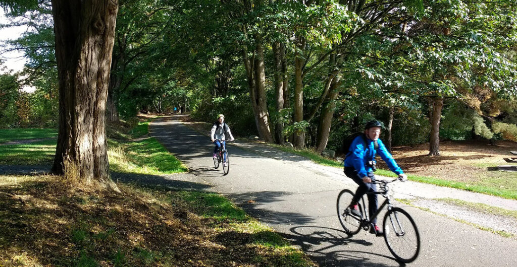
The Burke-Gilman Trail is one of the country’s oldest rail trails; its first dozen miles opened in 1978. The trail follows the route blazed by the Seattle, Lake Shore and Eastern Railway (SLS&E) in 1885, and is named for two of its founders — Thomas Burke and Daniel Gilman.
Northern Pacific (later Burlington Northern) acquired the SLS&E in 1901. Trains last ran on this line in 1971, and today Seattle’s longest dedicated right-of-way recreational trail extends more than 20 miles.
The trails runs from Shilshole Bay in Ballard along the Ship Canal through Fremont and the University of Washington campus to Bothell where it connects with the Sammamish River Trail (SRT), which is primarily a levee trail. The SRT continues to Bothell and Redmond, where it links with the East Lake Sammamish Trail on to Issaquah. More trails follow the corridor to Preston, Snoqualmie, North Bend and Duvall.
The remainder of the SLS&E corridor has been repurposed as recreation trails.
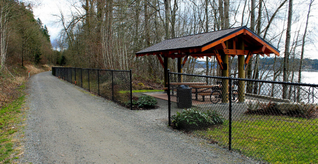
The Sammamish River Trail runs 10.1 miles along the Sammamish River from Blyth Park in Bothell to Marymoor Park in Redmond and is the center link of the “Locks to Lakes Corridor.” The path is fully paved.
The East Lake Sammamish Trail follows the 11-mile route of the railway from Redmond along the east side of Lake Sammamish (formerly Squak Lake), from Redmond to Issaquah. The trail is paved at either end, with several miles of crushed rock surface in the middle.
The Issaquah-Preston Trail is 5.4 miles long with a paved and gravel surface that roughly follows the historic Seattle Lake Shore & Eastern Railway grade from Issaquah east to Preston.
The Preston-Snoqualmie Trail is a 7-mile paved route that, like many other trails, is part of the growing Mountains to Sound Greenway.
The Interurban Trail (South) is a paved 14-mile recreational route from Tukwila (near Fort Dent Park) to Pacific, passing through Kent, Auburn and Algona in the Green River Valley. This trail uses the former alignment of the Puget Sound Electric Railway, a popular interurban commuter railway which operated passenger trolleys between Tacoma and Seattle from 1902 to 1928. Two unattached segments in nearby Edgewood and Milton follow the old railway corridor toward Tacoma.
The Snoqualmie Valley Trail runs 32 miles from Rattlesnake Lake outside of North Bend to McCormick Park in Duvall, on a crushed-rock surface. The trail follows an extension of the Chicago, Milwaukee, St. Paul and Pacific Railroad that linked the Milwaukee Road’s mainline with Everett. Along the way, travelers encounter numerous trestle crossings, historic towns, views of mountains and farmland, and a roaring waterfall. The relocated Milwaukee Road depot is restored nearby at Stephens Street and Railroad Avenue in Duvall’s McCormick Park. The Northwest Railway Museum, with the oldest continuously operating train depot in the state of Washington, is in Snoqualmie.
South of Seattle
The Foothills Trail is 21 miles long and winds through the river valley southeast of Tacoma along an abandoned railway bed. The trail begins in Puyallup, runs through the Puyallup Valley to Orting, through South Prairie and ends in the city of Buckley. An especially scenic section of the trail begins in Orting and follows the Carbon River upstream through farmland and forest, offering unobstructed views of Mount Rainier along the way.
The Klickitat State Park Trail is Washington’s southernmost rail trail. The multiple-use 545-acre trail follows the first 31 miles of the former Spokane, Portland & Seattle Railway branch line that connected Lyle and Goldendale in Klickitat County from 1903 to 1992.
The unpaved trail starts in the Columbia Gorge National Scenic Area, follows a federally designated Wild & Scenic River, and finally traverses a remote, beautiful tributary canyon.
According to the Klickitat Trail Conservancy, “the gently graded trail starts at a trailhead with lovely river views in Lyle, Washington, at the confluence of the Klickitat and Columbia Rivers, follows the nationally designated Wild and Scenic Klickitat River 13 miles through oaks and pines to the old mill town of Klickitat. After a few more miles at the Wahkiacus trailhead, [the trail] turns up Swale Creek and into the remote and beautiful Swale Canyon, ending in the high, open ranch country of the Goldendale Plateau.”
North of Seattle
The Snohomish County Centennial Trail offers 30 paved miles from Snohomish to the Skagit County line and connects the towns of Snohomish, Lake Stevens, Arlington and points in between. The trail passes farmland and patches of woodland, running along creeks, lakes and crossing the Stillaguamish River on the old Burlington-Northern railroad line.
At Snohomish, a short branch of the trail leads into the heart of this historic town. Several miles north of Snohomish, the Machias Trailhead features a rest stop built to replicate the 1890s railroad depot that once stood on the site. This is one of the most popular multi-purpose trails in Western Washington, used by cyclists and rollerbladers, joggers and dog walkers, even horse riders.
The Interurban Trail (North) is a 24-mile trail connecting Seattle with Everett, via Shoreline, Mountlake Terrace and Lynnwood, with almost 19 miles of the trail in Snohomish County. The paved path follows the right-of-way of the Seattle-Everett Traction Company, which ran electric trains on the route from 1910 to 1939. The Seattle trailhead is at N. 110th Street and Fremont Avenue N. Everett’s trailhead is located at 41st Street and Colby Avenue. There are several gaps in the trail with detours via bike lanes, local streets and sidewalks. The Lake Ballinger Station trailhead features a historical exhibit of the railway. Heritage Park, east of the trail on 200th Street S.W. at Poplar Way in Lynnwood, displays Interurban Car. No. 55.
The Iron Goat Trail, 60 miles northeast of Seattle, follows 9 miles of an abandoned Great Northern Railway grade and takes its name from the line’s mascot symbol — the mountain goat — and the “Iron Horse” nickname for early steam-powered locomotives. From the Iron Goat Interpretive Site, located in a former Great Northern caboose on U.S. 2, 10 miles east of Skykomish, the trail passes remnants of snow sheds, tunnels and abandoned townsites.
Olympic Peninsula
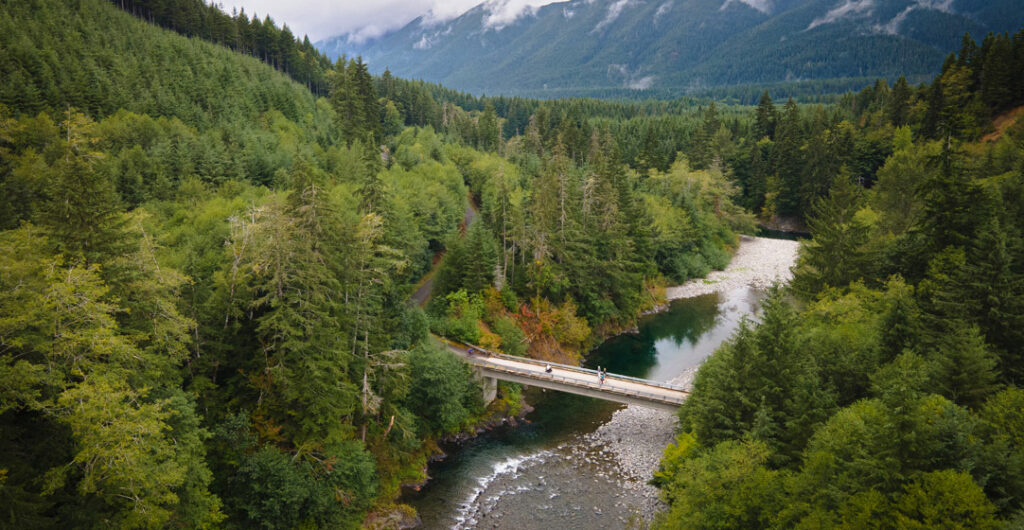
The Olympic Discovery Trail is a recreational trail on the northern Olympic Peninsula – much of it follows former rail lines of the Chicago, Milwaukee, St. Paul and Pacific Railroad. The trail starts in Port Townsend and runs westward around Discovery and Sequim bays. It goes through Sequim across the Dungeness Valley, 4 miles along the shore of the Strait of Juan de Fuca, through Port Angeles and to the Elwha River. West of the Elwha, the trail follows roads to Lake Crescent and hugs the lake’s north shore along the route of a former logging railway, the Spruce Railroad. The path crosses five trestles; three are over 400 feet long; the highest is 85 feet above the streambed and was built curved to increase stability. A log building in the village of Joyce was the former Milwaukee Road depot.
Eventually, the Olympic Discovery Trail will stretch 130 miles from Port Townsend all the way to Forks and the Pacific Ocean. The trail is currently a mix of road and multi-use paths. More than half the route now has non-motorized paths, with more being added each year. Find detailed trail segment maps, alerts and updates on the ODT website.
The Chehalis Western Trail, near Olympia, passes through a variety of urban and rural districts in Thurston County. The mostly paved trail follows the 22-mile route of its namesake logging railroad, which operated from 1926 into the mid-1980s. The mostly paved trail provides access to over 170 acres of park land including nearly 2 miles of frontage along the Deschutes River, and includes access to Puget Sound, Chambers Lake, wetlands, forests, farmland, creeks, prairies and other habitats. The trail links up to the Yelm-Tenino Trail.
The Yelm-Tenino Trail is a 14.5-mile ribbon of asphalt following the Northern Pacific’s former Prairie Line, linking Yelm, Rainier and Tenino. This historic rail line opened in 1869 and ran into the late 1980s. Today the trail traverses forest and agricultural lands, creeks, wetlands and other habitats along state Route 507, offering views of the Deschutes River west of Rainier and of McIntosh Lake near Tenino. The Yelm trailhead is near the Yelm Skate Park; the southern trailhead is at Tenino City Park. Look for the historic sandstone buildings (the town is noted for its sandstone quarries), including the former Tenino Depot, now housing the local history museum.
Central and Eastern Washington
The Columbia Plateau State Park Trail is a 130-mile rail-bed trail along the 1908 route of the former Spokane, Portland & Seattle Railway. It runs between the Columbia River at Ice Harbor Dam and Fish Lake near Cheney, with interpretive kiosks along the trail.
Its northern end passes through Turnbull National Wildlife Refuge. The first 3.75 miles from Fish Lake are asphalt, followed by 19 miles of crushed gravel. At the southern end, the first 15 miles (crushed gravel) follow the Snake River. The middle 100 miles are unimproved, traversing remote, rolling terrain of scattered woodlands, meadows and grasslands. No services are available along this part of the trail.
The Willapa Hills State Park Trail is a relatively flat 56-mile-long east/west 757-acre recreation trail connecting Chehalis and South Bend in Lewis and Pacific counties. It follows the former Northern Pacific Railway line through remote farm and forestland. Most visitors access the trail at Chehalis and travel west. Surface conditions vary.
The Palouse to Cascades State Park Trail (formerly Iron Horse/John Wayne Pioneer Trail) is Washington’s longest rail trail, following the almost 300-mile route of the former Chicago, Milwaukee, St. Paul & Pacific Railroad, popularly known as the Milwaukee Road, across the state. It is also a National Recreation Trail.
The 110-mile trail stretches from Rattlesnake Lake near North Bend to the Columbia River near Vantage and then continues from the town of Lind to the Idaho border. Along the way the trail passes rivers and waterfalls and goes through forests, over high trestles and across open farmland and high deserts. The trip through the 2.3-mile Snoqualmie Tunnel, the nation’s longest tunnel open to non-motorized traffic, is just one of the highlights of the route.
Spokane and Northern Idaho
Spokane River Centennial State Park Trail in Eastern Washington is not a rail trail. The 40-mile paved, multi-use recreational trail follows the Spokane River and stretches from Sontag Park in Nine Mile Falls, Washington, through the downtown Spokane area and into the Spokane Valley. In downtown Spokane, the trail follows the old Burlington Railroad corridor from Riverfront Park east for a couple of miles; the clock tower in the park was part of the old train depot. At the Idaho border the trail continues as the North Idaho Centennial Trail through Post Falls and into Coeur d’Alene.
The Trail of the Coeur d’Alenes is a paved 72-mile recreation trail extending from Plummer to Mullan on the Union Pacific and Northern Pacific rail lines. It crosses Lake Coeur d’Alene on the Chatcolet Trestle, a 3,100-foot-long bridge, and follows the Coeur d’Alene River into the Silver Valley, passing Kellogg and the historic mining town of Wallace. The trail ends at Mullan, near the base of Lookout Pass, close to the Montana border. Here you can continue on the mostly gravel Nor Pac Trail into the Treasure State.
The Route of the Hiawatha, in the Bitterroot Mountains east of Mullan, is a 15-mile downhill and it features seven soaring trestles and 10 high tunnels, including the 1.6-mile St. Paul Pass Tunnel, known as the Taft Tunnel. The trail has a crushed rock and hard packed dirt surface. Its name recalls the Olympian Hiawatha, a streamliner operated by the Chicago, Milwaukee, St. Paul & Pacific Railroad between Chicago and Seattle/Tacoma from 1947 to 1961.
The trail is operated by the Lookout Pass Ski & Recreation Area and is open daily from Memorial Day weekend to late September. A fee is charged to access the trail. Bikes, as well as helmets with lights, are available for rent. A ticketed shuttle brings bikes and riders back to the top of the trail.
The Northern Pacific Rail Trail (known as the NorPac) is a 25.6-mile, mostly gravel path that follows the former right-of-way of the Northern Pacific’s Wallace Branch, which connected the Silver Valley with Montana.
It starts at the end of the Trail of the Coeur d’Alenes in Mullan, winds up over Lookout Pass, skirts the East Portal of the Route of the Hiawatha and ends at the hamlet of Saltese, Montana (I-90 Exit 10). Look for historical kiosks along the route in Idaho.
If you are on the trail and have bike troubles, don’t forget to call AAA for assistance.
–Written by John King, last updated in September 2022.


