See a devilish canyon, a tough old butte and a sneaky waterfall
It could have been a nine-hour, 551-mile trip from Vancouver, Washington, to Missoula, Montana. Google laid out the fastest route: Four-lane freeways starting with Interstate 84 on the Oregon side of the Columbia Gorge and ending on Interstate 90 through Spokane to Missoula. Simple.
But Google wasn’t calling the shots for a couple of guys enchanted by rural roads, small towns, railroads (abandoned and active) and miles of wide-open landscapes unlike anything west of the Cascades. And, of course, the “Oh-my-gosh, look at that!” evidence of ferocious ice-age Missoula Floods that tore up the Eastern Washington landscape 15,000 to 18,000 years ago.
Bound for Missoula to pick up a new trailer for his river rafts, Ken Giles and I took state Route 14 on the Washington side of the Columbia. Our first stop: 66 miles east in Bingen, where we enjoyed goodies from Mugs Coffee and Pastry shop at a sidewalk table. Then it was another 27 miles to explore the tiny railroad town of Wishram and chat with a BNSF Railway engineer waiting for his next ride.
After lunch in Kennewick, we were off on a side trip that beckons adventuresome motorists passing through the area or perhaps delivering a student to Washington State University in Pullman or Eastern Washington University in Cheney.
In addition to the beguiling, gently rolling hills and wheat fields collectively known as “The Palouse,” three specific sites were on our must-visit list: a canyon, a waterfall and a hilltop.

Time Warp
Devil’s Canyon resulted from the ice-age Missoula Floods that roared over Eastern Washington about 3,000 years before humans are known to have inhabited the region. This craggy, dry canyon runs mostly arrow-straight north from Lower Monumental Dam on the Snake River to Kahlotus, Washington.
The canyon is a time warp. It offers majestic and gnarly evidence of basalt-lava flows millions of years ago. Later — much later — ice-age Missoula Floods scoured the canyon, giving rise to the term “scablands.” In 1909, the Spokane, Portland and Seattle Railway opened a route through the area. In 1969, Lower Monumental Dam at the south end of the canyon came on line.Today, abandoned railroad grades and trestles are part of the incomplete Columbia Plateau Trail.
Directions from south to north: From the Tri-cities, take the Pasco-Kahlotus Road from U.S. 12 on the east side of the Columbia River 2 miles north of Sacajawea Historical State Park. Drive 30 miles, then turn right on the Burr Canyon Road toward Lower Monumental Dam and state Route 263 through the Devil’s Canyon. (Alternatively, from Connell on U.S. 395 drive 17 miles east on state Route 260 to Kahlotus and south through Devil’s Canyon.)

Sneaky Falls
Palouse Falls is the most stunning natural feature in Southeast Washington and perhaps the most intriguing waterfall in the state. For good reason, Palouse Falls is often described as being in the middle of nowhere. But seeing it, at least once, is worth the effort. It’s geologically fascinating, extremely photogenic — and sneaky.
Sneaky?
Most waterfalls are rivers that originate in mountains and eventually roar down the rocky face of a cliff to the “ooohs” and “ahhhs” of spectators looking up. But the Palouse River slithers quietly through flatlands and amid low, rolling hills toward its namesake state park. From there, we looked down and across a canyon to where the river emerges from the basalt cliffs and plunges nearly 200 feet into a pool. Then, it quietly disappears into a narrow canyon and flows 4 miles to its confluence with the Snake River.
For eons the Palouse River was several miles north, flowing to the Columbia River through what is now the dry Washtucna Coulee. But 18,000 to 15,000 years ago — milliseconds in geologic time — dozens of monstrous ice-age floods carved a detour that diverted the Palouse River south onto its present path to the Snake River. In 2014, as a result of area school children lobbying the Legislature, Palouse Falls became Washington’s “official” waterfall.
Directions: Drive east from Kahlotus on state Route 260 about 8 miles and turn right on state Route 26; drive another 9 miles to Palouse Falls Road and the final 2.5 miles to the state park. Fee: Annual Pass $35 or one day, $11.50 (on-site purchase, cash or check).

Tough and Old
At 3,612-foot elevation and nearly 1,000 feet above the surrounding countryside, Steptoe Butte is the highest point in the area, providing sweeping views of 70 miles or more.
The Butte is also among the oldest landforms in the region at somewhere over 400 million years. It is made of super-hard quartzite, not the softer basalt that covered much of Eastern Washington a mere 5 million to 16 million years ago and was eventually ravaged by the ice-age Missoula Floods. The same geologic story, with the tougher-than-nails quartzite, is responsible for 3,641-foot Kamiak Butte 22 miles southeast near the town of Palouse.
From atop Steptoe, take in the 360-degree view and contemplate this: Back in the day, before the Cascade Range appeared, you would be looking west at the Pacific Ocean.
Note that there is a pending park closure in 2022. Major road and parking lot repairs and improvements could mean closure of Steptoe Butte State Park for several weeks beginning as early as spring 2022 but the extent and dates of the work were yet to be determined at press time.
Directions: Drive north from Colfax (where we spent the night) on U.S. 195 for 7 miles, then a mile on Scholz Road and 4 miles more on Hume Road. From Spokane: Drive south 52 miles via U.S. 195, state Route 271 and Hume Road. From I-90 at Sprague: Drive 50 miles via state Route 23. Fee: $30 annual or $10 one day (on-site purchase by cash or check).
If you make this backroads excursion south to north, as described here, you can get back to a freeway via state Route 23 to I-90 at Sprague or north on U.S. 195 to Spokane. Safe travels.
–Written by Gregg Herrington, last updated in October 2022.
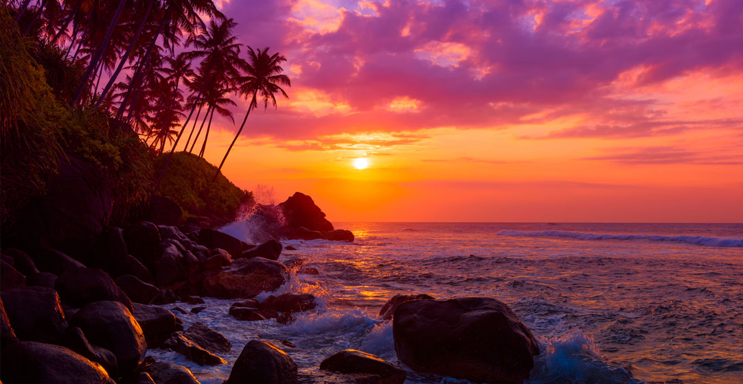
–Top photo of Palouse River is by Danita Delimont/AdobeStock.
–This article appears in the spring 2022 edition of AAA Washington member magazine, Journey.